LEE COUNTY - Storms are starting to percolate in southern Iowa as projected by the National Weather Service.
The Storm Prediction Center has projected a moderate risk (4 of 5) for Lee County for today and tonight. Multiple rounds of severe thunderstorms are expected with long track supercells and strong tornadoes along with damaging winds and very large hail.
The storms are projected to be fast-moving similar to Friday evening’s storms.
The Class 4 risk factor extends from just east of Des Moines to Dubuque to Keokuk in Iowa. It also covers the southwest portion of Illinois and northeast Missouri.
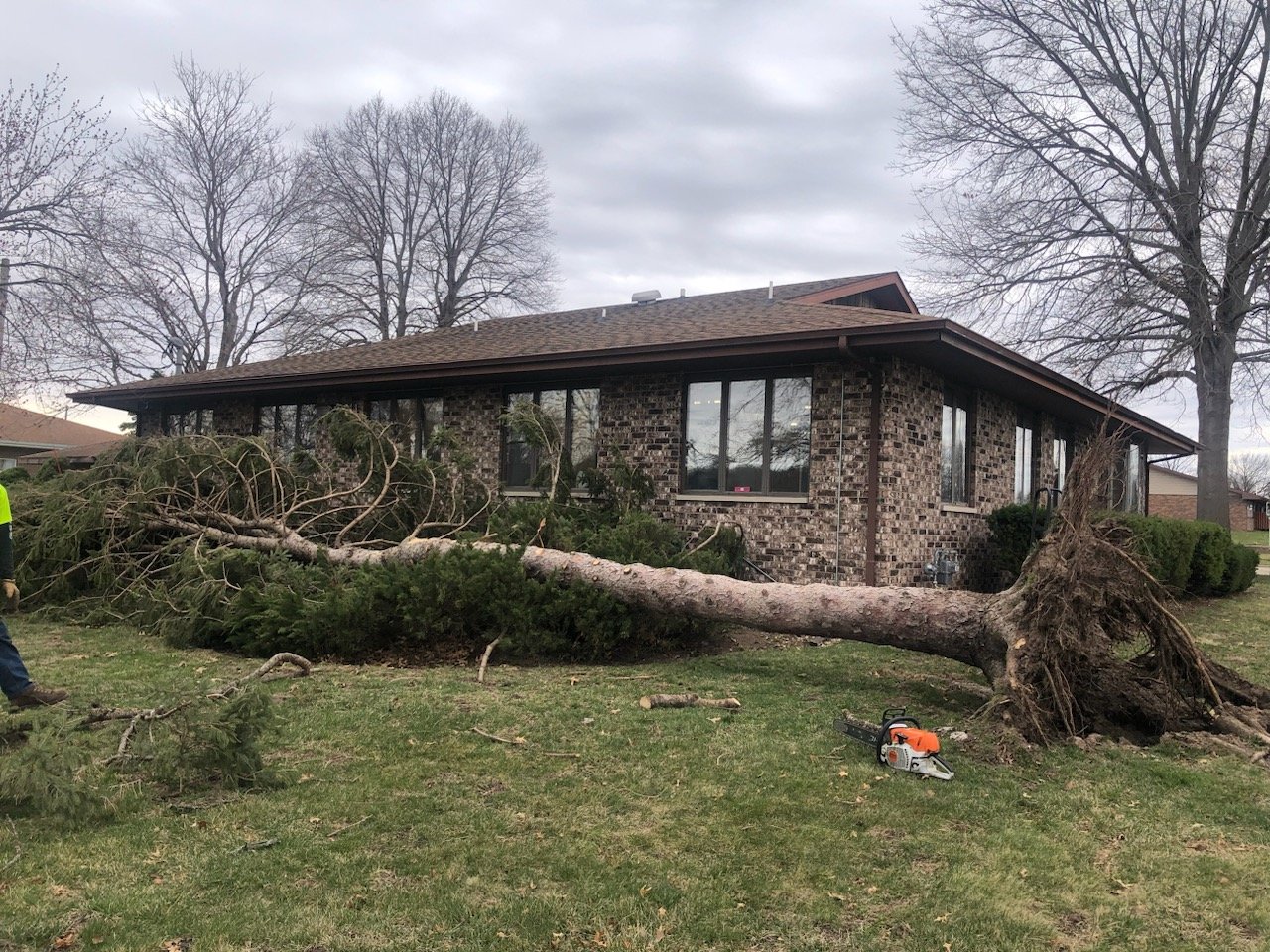
Eastern Iowa suffered at least nine confirmed tornadoes on Friday as a fast-moving storm hit the area. Fort Madison suffered uprooted trees and blown debris but avoided most of the damaging part of the storm.
On Friday, Gov. Kim Reynolds issued a disaster proclamation for 12 counties in response to the March 31 severe weather. The governor’s proclamation allows state resources to be utilized to respond to and recover from the effects of this severe weather in Cedar, Clinton, Delaware, Des Moines, Dubuque, Grundy, Johnson, Keokuk, Linn, Mahaska, Wapello, and Washington counties.


Comments
No comments on this item Please log in to comment by clicking here